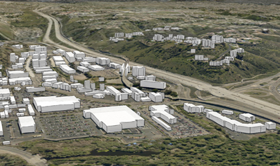
We launched the Open Data Portal to host all the data we collect at SANDAG. Here, you can download raw figures and visualizations that show what life is like in the San Diego region. In the Open Data Portal, you can find:
- Automated Regional Justice Information System (ARJIS) crime data, which law enforcement agencies use to keep our communities safe.
- Regional maps from our Geographic Information System (GIS) team that we share with other agencies through the San Diego Regional GIS Council.
- Transportation datasets like our Transportation Forecast, State of the Commute, and Bike Maps to help you plan safe and efficient travel.
- Socioeconomic datasets like the census and our Community Characteristics that showcase our region’s diversity.
One of our largest undertakings with the Open Data Portal is analyzing how the San Diego region compares to the United Nations’ (UN) Sustainable Development Goals. These goals help us measure our progress towards building a more sustainable future. We can measure our data against UN’s benchmarks to see what solutions we need to focus on next.
We host a wide variety of data and visualizations on the Open Data Portal that are free for anyone to download. We will continue sharing more content to serve the San Diego region.


