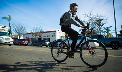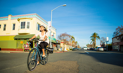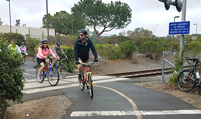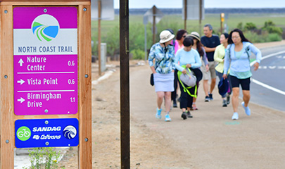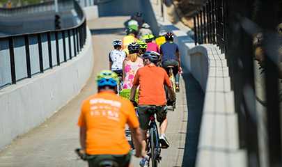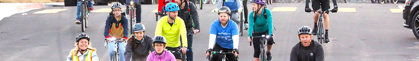
With more than 1,800 miles of bikeways in the San Diego region, everything is just two wheels away. One of our key priorities in planning our region’s transportation system is providing an extensive network of bikeways and walkways to ensure biking, walking, and rolling are comfortable and convenient forms of everyday travel.
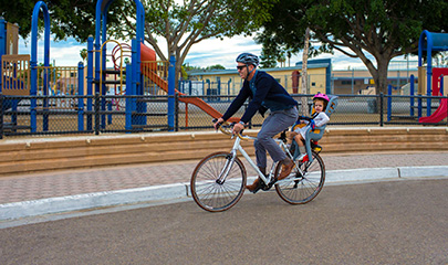
Guiding the development of the SANDAG Bike Plan Early Action Program (EAP) through the year 2050, our bikeway and walkway projects have a positive impact on the quality of life in the San Diego region by reducing traffic congestion, improving air quality, reducing the impact of climate change, and enhancing public health and livability.
Understanding the Terminology
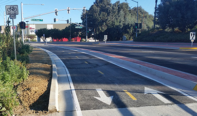
- Bike lane: A roadway lane defined by pavement markings that provide a restricted right-of-way for bicycle travel.
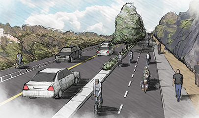
- Buffered bike lanes: Conventional bike lanes combined with painted areas that increase the distance between people on bikes and the adjacent motor vehicle travel lane and/or parking lane.
- Contra-flow bike lane: A one-way bikeway where the people on bikes travel in the opposite direction of the cars in the lane next to them.
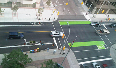
- Separated bikeways: A bikeway for the exclusive use of bicycles that requires a vertical separation between the bikeway and vehicle lanes.
- Two-way separated bike lane: allows people riding bikes to travel in two directions on a street which may be one-way for all other vehicles.
- Bike route: A route located on a shared roadway that accommodates vehicles and bicycles in the same travel lane.
- Bike Boulevard: A local road or residential street that has been enhanced with traffic calming and other treatments to facilitate safe and convenient bicycle travel.
- Freeway Shoulder Bike Access: A specific section of a freeway shoulder dedicated to biking with signs delineating the start and end of bike access; usually found in rural or remote areas.
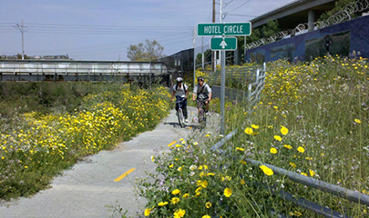
- Multiuse Path: A bikeway that is physically separated from vehicle traffic to accommodate bike, pedestrian, and other non-motorized traffic.
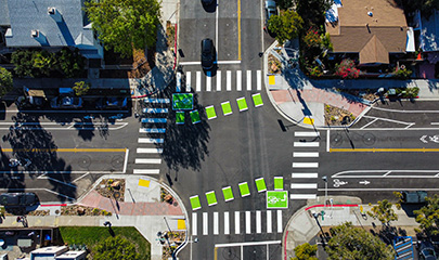
- Traffic calming measures: High-visibility crosswalks, curb extensions, rapid flashing beacons, mid-block crossings, traffic circles, and traffic signal enhancements.
For more information, contact the SANDAG GO by BIKE Public Outreach team at gobybike@sandag.org or 833.899.BIKE (2453).